 Miniatures
Terrain & topography models
Make the Site Topography Physical Before the Building Sits on It.
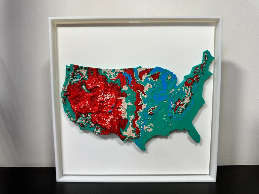
Terrain is often the part of a site model that controls everything else. A printable terrain can be developed from a clean mesh, CAD contours or other supplied site geometry and scaled to the physical footprint of the maquette.
Projects accepted from all Tunisia. Start remotely with photos, measurements, a file or a link. In-person meetings can be arranged by appointment when useful.
Typical projects
Specific objects and outcomes—not a generic printing menu.
The examples below define the type of problem this page is meant to solve. Final feasibility depends on the actual geometry, use conditions and information supplied.
01Topographic site bases
02Layered terrain conversions
03Building cut-out site models
04Landscape contour models
05Urban block massing bases
06Presentation terrain tiles
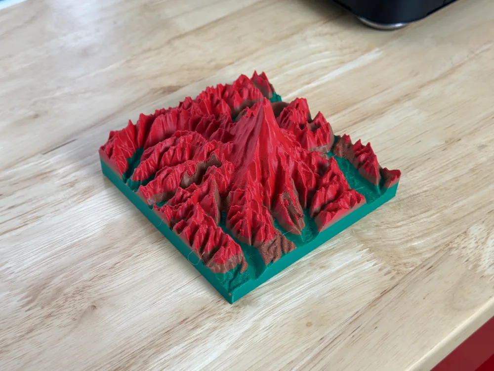
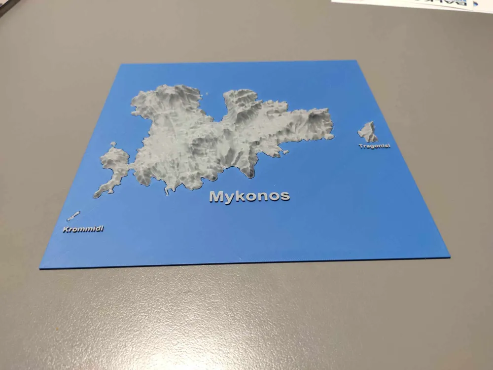
Related 3D models
Real models related to this exact use case.
Use these as references or starting points. Creator and license context remain available where applicable.
Explore the full discovery library ↗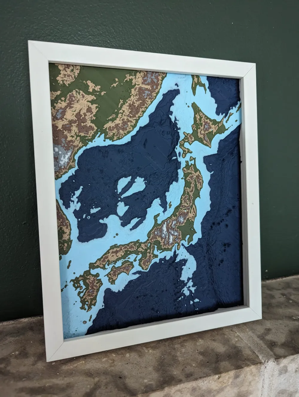
The real customer problem
Why someone searches for this page.
→
Hand-cut contour layers take too long for a tight deadline.
→
A curved terrain surface is difficult to reproduce accurately with flat sheets.
→
The site must align precisely with separately fabricated building volumes.
→
A large terrain needs to be divided into printable tiles.
→
CAD contour data needs conversion into a watertight physical model.
Project brief
Send the information that changes the physical result.
A useful request explains fit, dimensions and intended use. Technical manufacturing choices can then be considered in the context of the real object.
01
Target scale
02
Terrain/contour/CAD source file
03
Final physical footprint
04
Building cut-out locations
05
Desired vertical exaggeration if any
06
Whether the terrain must be split into tiles
Suitability note
Physical terrain models are for visualization and presentation; they do not replace survey, civil engineering or construction-grade topographic documentation.
Common project names
Different words, same kind of problem.
Customers often describe this project in English or French. These terms help you confirm you are on the right page—not choose technical print settings.
maquette topographique Tunisieterrain architecture impression 3Dmodèle relief site 3D Tunisie
FAQ
Questions people ask before starting this exact type of project.
Can you work from contour lines?
Potentially. The contour data must contain enough elevation information and may require modeling work before it becomes a printable solid.
Can a large site be split into pieces?
Yes. Tile boundaries and alignment features can be planned around the final display size and printer constraints.
Can buildings be printed separately from the terrain?
Yes. Separate building volumes are often useful for iteration, painting and presentation.
Related needs
Continue by project type.
Start the real project
Send My Terrain Model
Use the file if you have it. Otherwise start with photos, measurements, references and the problem the object needs to solve.